|
| Palm Springs: Round Valley |
| Rating | ***** |
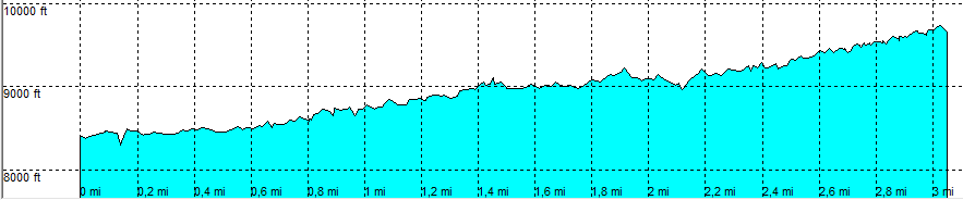
| length | 3.1 mile - 1 hour 30 minutes (one way). Moderate. |
| Height | 8400 - 9650 feet |
| Access | All Cars, all paved. Take Tramway Road and park at the huge parking area a the Tramway, take the Tramway up the mountain |
| Other Trails | None |
| Data | To download these files, right-click the link and choose 'save as' |--| .GPX (GPS file) |-----| .KML (Google Earth file) |