|
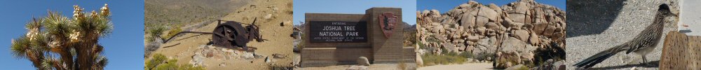
| Joshua Tree - Eureka Peak Loop Trail |
| Rating | ***** |
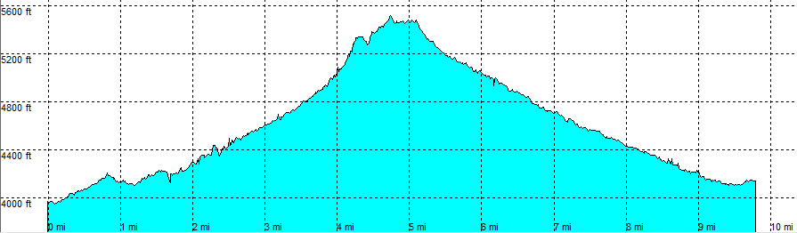
| length | 7.5 mile - 4 hour 45 minutes (round trip). Hard. |
| Height | 3960 - 5500 feet |
| Access | All Cars, all paved. From Yucca Valley, Highway 62, right on Joshua Ln, at the end turn right on Black Rock Canyon. Park on the parking lot of the ranger station. |
| Other Trails | Warren Peak - Panorama Loop Trail |
| Data | To download these files, right-click the link and choose 'save as' |--| .GPX (GPS file) |-----| .KML (Google Earth file) |