|
| Sedona - Dogie Trail |
| Rating | ***** |
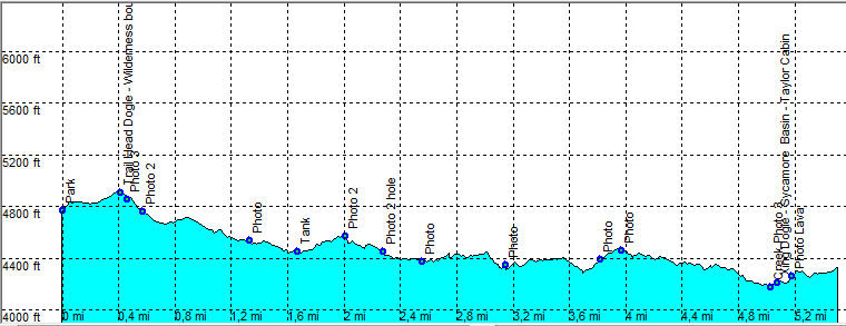
| length | 11.3 mile - 5 hours (round trip). Moderate. |
| Height | 4200 - 4900 feet |
| Access | High clearence or 4x4. From Hyw 89A to Cottonwood take FR 525 on the right at Mile 364. Take 525C and stay on it up to the trail head parking. |
| Other Trails | |
| Data | To download these files, right-click the link and choose 'save as' |--| GPX (GPS file) |-----| KML (Google Earth file) |