|
| Sedona - Brins Mesa Overlook |
| Rating | ***** |
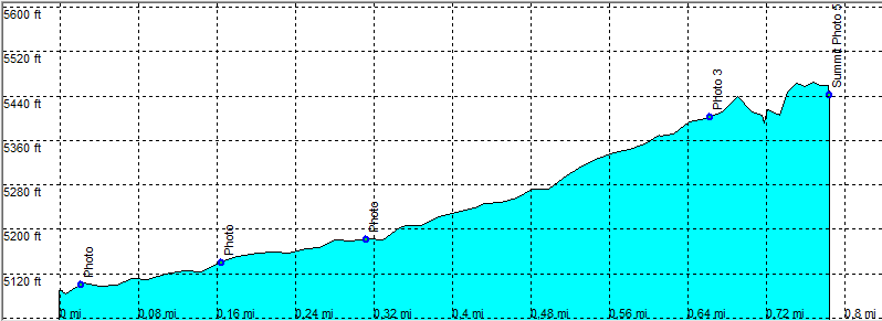
| length | 1.6 mile - 1 hours (round trip). Moderate/Easy. |
| Height | 5090 - 5450 feet |
| Access | All Cars, trail head Brins Mesa. |
| Other Trails | |
| Data | To download these files, right-click the link and choose 'save as' |--| GPX (GPS file) |-----| KML (Google Earth file) |