|
| Sedona - Woods canyon Trail |
| Rating | ***** |
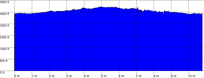
| length | 11.3 mile - 4 hour 40 minutes (return). Moderate. |
| Height | 3890 - 4330 feet |
| Access | All Cars. |
| Other Trails | |
| Data | To download these files, right-click the link and choose 'save as' |--| GPX (GPS file) |-----| KML (Google Earth file) |