|
| Sedona - Twin pillars Trail |
| Rating | ***** |
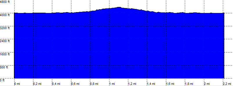
| length | 2.3 mile - 1 hour 10 minutes. Easy/Moderate. |
| Height | 4000 - 4300 feet |
| Access | High clearance. |
| Other Trails | |
| Data | To download these files, right-click the link and choose 'save as' |--| GPX (GPS file) |-----| KML (Google Earth file) |