|
| Sedona - Red rock state park |
| Rating | ***** |
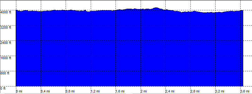
| length | 5.3 mile - 1 hours 40 minutes (return). Easy. |
| Height | 3980 - 4120 feet |
| Access | All Cars, this starting point high clearance. |
| Other Trails | |
| Data | To download these files, right-click the link and choose 'save as' |--| GPX (GPS file) |-----| KML (Google Earth file) |