|
| Sedona - Dry creek - Secret canyon loop Trail |
| Rating | ***** |
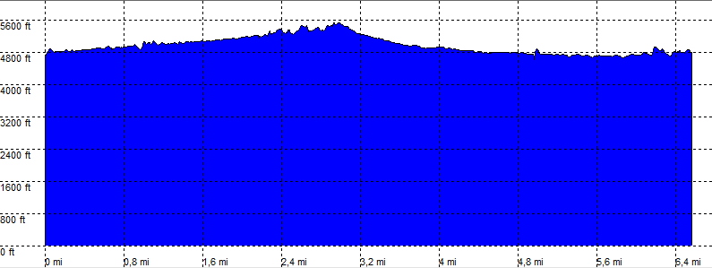
| length | 7.0 mile - 2 hours 50 minutes (return). Easy/Moderate. |
| Height | 4700 - 5500 feet |
| Access | High clearence. |
| Other Trails | |
| Data | To download these files, right-click the link and choose 'save as' |--| GPX (GPS file) |-----| KML (Google Earth file) |